McKell Cup Day
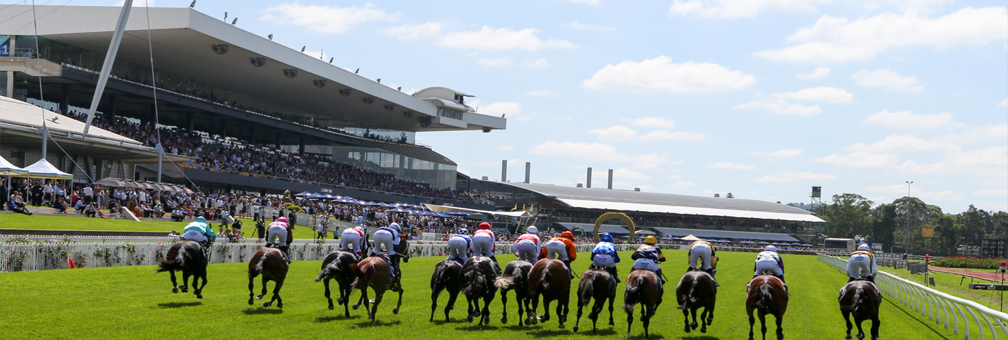
Rosehill Gardens, Rosehill
-
Gates open
10:00
First race 11:00
Last race 16:30
Important Travel Advice
Attendees are encouraged to plan their trip and consider all the available travel options ahead of time.
The best train stations for connections to Rosehill Gardens are Parramatta and Westmead where you can connect with light rail services to the racecourse.
Please note metro services will not operate across the entire line between Tallawong and Sydenham. Replacement buses only run between Tallawong and Chatswood. Use trains for travel between the City and Chatswood. Buses also replace T4 Illawarra and T8 Airport & South Line trains between Central and Sydenham. Plan your trip using the Trip Planner.
L4 Westmead and Carlingford Line light rail services run regularly via Parramatta and stop at Rosehill Gardens, across from the racecourse. Alight at the Rosehill Gardens and continue on foot via Grand Avenue and the underpass to the racecourse. See the Rosehill Gardens transport map (pdf 727KB) to find your way.
Remember, you'll need to use an Opal card or contactless payment card/device when travelling on public transport to and from the event. Register your details online at Opal or via the Opal Travel app ahead of time.
If you have to drive, travel with your group and arrive early. There’s parking on-site at the racecourse or consider using rideshare and taxis instead. Allow extra travel time as traffic may be heavier than usual. You can find real-time updates on traffic conditions at livetraffic.com.
Opal
You can use an Opal card for all modes of public transport in Sydney and surrounding regions, including metro, trains, buses, ferries and light rail.
Remember to top up your Opal card before you travel to avoid waiting in line at top-up machines. You can top up your card online or at an Opal retailer.
More ways to pay
If you have a contactless-enabled American Express, Mastercard or Visa debit or credit card, or a linked device, you can use it to pay for your travel by tapping on and tapping off at Opal card readers. Available on all public transport, contactless payments are another way to pay on the Opal network. Adult Opal fare pricing applies and you will receive Opal benefits, including daily and weekly fare caps.
Sydney Metro services are high-frequency, driverless trains running between Sydney’s north-west and south-west via the city.
M1 Metro North West & Bankstown Line planned trackwork – Saturday 27 & Sunday 28 June
- Metro services will not run between Tallawong and Sydenham.
- Buses replace services between Tallawong and Chatswood only.
- For travel to and from Waterloo use local buses or trains from Redfern.
- Use trains between Epping or Chatswood and the City
- Buses also replace T4 Illawarra and T8 Airport & South Line trains between Central and Sydenham.
Change at Epping to connect with buses to Rosehill or trains to Parramatta where you can connect with light rail services to the Rosehill Gardens stop. See the Rosehill Gardens transport map (pdf 727KB) to find your way.
For Metro service disruption information, check trackwork and travel alerts or plan your trip using the Trip Planner.
The best stations for connections to Rosehill Gardens are Parramatta and Westmead where you can connect with light rail services to the Rosehill Gardens stop, a short walk from the racecourse. See the Rosehill Gardens transport map (pdf 727KB) to find your way.
Trackwork
Planned weekend trackwork is taking place on Saturday 27 June on the following lines and may affect how you travel to and from the event. Plan ahead using the Trip Planner.
- M1 Metro North West & Bankstown Line: Metro services will not run between Tallawong and Sydenham. Buses replace services between Tallawong and Chatswood only. For travel to and from Waterloo use local buses or trains from Redfern. Use trains between Epping or Chatswood, the City and Sydenham
- T1 North Shore Line: Sydney Metro trackwork may affect how you travel
- T4 Eastern Suburbs & Illawarra Line: Buses replace trains between Cronulla, Waterfall and Central. Some buses start and end at Redfern. Trains run between Central and Bondi Junction, to a changed timetable. For travel to the Airport, change at Central for a T8 Airport & South Line train if you have luggage or accessibility needs. Sydney Metro trackwork may also affect how you travel
- T8 Airport & South Line: Buses replace trains between Sydenham and Central. Trains run to the normal timetable between Macarthur, Revesby and the City via the Airport. Trackwork on the T4 Illawarra and South Coast lines may also affect how you travel. From Airport stations, change at: Central for trains towards Bondi Junction, or buses to T4 Illawarra and South Coast Line stations, or Wolli Creek for buses to stations between Redfern and Hurstville only. Change at Central if you have luggage or accessibility needs. Sydney Metro trackwork may also affect how you travel
- T9 Northern Line: Sydney Metro trackwork may affect how you travel
- Central Coast & Newcastle Line: From 5.30am to 10.30am, at Hawkesbury River and Cowan, all trains leave from platform 2. From 7am to 10.30am, trains towards Hornsby do not stop at Cowan. Buses run from Hawkesbury River to Cowan, and from Cowan to Berowra, in that direction only. If travelling to Cowan, change at Hawkesbury River for a bus. At Cowan, catch a bus to Berowra then change for a train to continue your journey. Trains towards Gosford continue to stop at Cowan. Sydney Metro trackwork may also affect how you travel
- South Coast Line: Buses replace trains between Dapto, Port Kembla and Central. You may need to change buses to continue your journey. Trains run between Bomaderry, Kiama and Dapto, some to a changed timetable. For travel to the Airport, change at Central for a T8 Airport & South Line train if you have luggage or accessibility needs. Sydney Metro trackwork may also affect how you travel.
- Southern Highlands Line: The 17:55 Central to Goulburn service leaves Central at 17:44, 11 minutes earlier than the normal timetable.
Trackwork is carried out on an ongoing basis to maintain the safety, reliability, and efficiency of the Sydney Trains network. For train service disruption information, check trackwork and travel alerts or plan your trip using the Trip Planner.
From Parramatta Interchange, route 920 services run towards Rosehill making stops near the racecourse. Services run every 20 minutes on weekends. Alternatively, catch a light rail service to Rosehill Gardens. See the Rosehill Gardens transport map (pdf 727KB) to find your way and plan your trip using the Trip Planner.
Route 920:
- Services leave from Parramatta Station Interchange, Stand A2, and drop off on James Ruse Drive opposite Prospect Street.
- Services leave from James Ruse Drive at Prospect Street and drop off at Parramatta Interchange.
For bus service disruption information, check travel alerts or use the Trip Planner.
The closest wharf to the Rosehill Racecourse is Parramatta Wharf.
From the wharf, walk to the Robin Thomas light rail stop via the riverside and Argus Lane to connect with services to Rosehill Gardens stop to get within short walking distance of the racecourse.
F3 Parramatta River services run regularly to Parramatta, but services are very popular and may reach capacity. Keep this in mind if you’re planning on catching an F3 Parramatta River service. Plan your trip and allow plenty of extra travel time or consider the alternative public transport options available.
Please note, F3 Parramatta River ferries between Parramatta and Rydalmere may be affected by low tide and replaced by buses, check for updates here.
For ferry service disruption information, check travel alerts or plan your trip using the Trip Planner.
L4 Westmead and Carlingford Line
L4 Westmead and Carlingford Line light rail services run between Carlingford and Westmead via Parramatta CBD. Services run regularly from 5am to 1am daily. Plan your trip using the Trip Planner.
The closest light rail stop to the racecourse is Rosehill Gardens. Alight at Rosehill Gardens and continue on foot via Grand Ave and the underpass to the racecourse. See the Rosehill Gardens transport map (pdf 727KB) to find your way.
Attendees are reminded that trams can’t stop quickly or easily – so please stop, listen and look around for trams and use designated pedestrian crossings.
L1 Dulwich Hill Line
L1 Dulwich Hill Line light rail services run between Central Station (Grand Concourse) and Dulwich Hill via Darling Harbour and the Inner West. Services run regularly from 5am to 1am daily. Use the Trip Planner to plan your trip.
From Central, change for trains to Parramatta to connect with light rail to Rosehill Gardens.
L2 Randwick and L3 Kingsford Lines
L2 Randwick light rail services run between Circular Quay and Randwick via Central Station (Chalmers Street) and L3 Kingsford line services run between Circular Quay and Juniors Kingsford via Central Station (Chalmers Street). Services run regularly from 5am to 1am daily, plan your trip using Trip Planner.
From Central, change for trains to Parramatta to connect with light rail to Rosehill Gardens.
For maps and service frequencies see light rail service information. For light rail service disruption information, check travel alerts or plan your trip using the Trip Planner.
Traffic may be heavier than usual on roads approaching the racecourse as attendees travel to and from the event. Allow extra travel time on roads including James Ruse Drive and Hassall Street.
Drivers are reminded that light rail services are running between Westmead, Parramatta and Carlingford. Trams can’t stop quickly or easily – so exercise extra caution when driving in the area.
For the latest traffic information visit Live Traffic NSW or download a real-time traffic app.
Drop-off: taxis enter Rosehill Gardens Racecourse through the Grand Avenue gates but are not permitted to stop on James Ruse Drive or Grand Avenue.
Pick-up: taxis are located on Oak Street over the Equine Bridge located at the Might and Power entry.
For details of taxi networks servicing the Sydney area, visit Transport Operators.
Free unreserved members parking is available in:
- P4 and P5 car parks located on James Ruse Drive and Prospect Street.
- P6 Infield car park via Gate 2 on Unwin Street.
Reserved members car parking is available for those with annual car park passes.
Accessible trips are shown in the Trip Planner with the wheelchair icon. You can check 'accessible services only' in the Options to ensure you only see accessible services. Only trip plans with accessible train platforms, ferry wharves and buses will be presented. See accessible travel or download a transport app (check the 'Accessibility' filter).