NRL: Eels v Storm
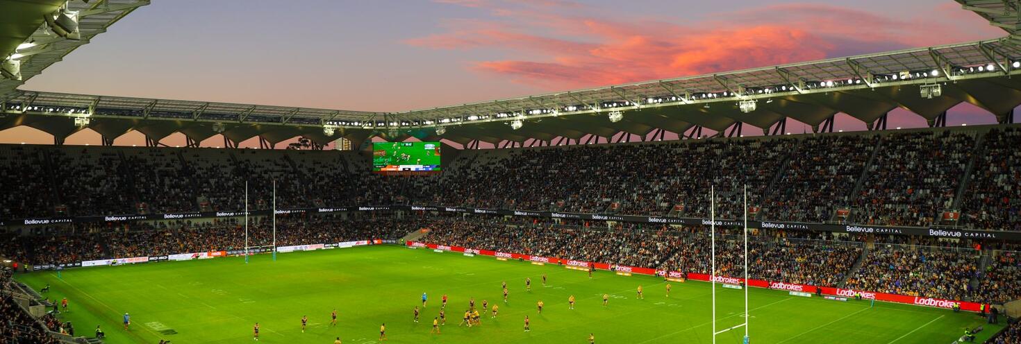
CommBank Stadium, Parramatta
-
Gates open
18:30
NRL kick-off 20:00
Full time 21:45
Important Travel Advice
Fans are encouraged to plan ahead and consider all the available travel options.
Trains and buses run regularly to Parramatta Station, which is a 15-minute walk from the stadium. Some buses also make stops outside the stadium on O’Connell Street. See the CommBank Stadium transport and walking route map (pdf 3.7MB) for more details.
Remember, you'll need to use an Opal card or contactless payment card/device when travelling on public transport to and from the event. Register your details online at Opal or via the Opal Travel app ahead of time.
Traffic will be heavier than usual approaching the precinct as fans travel to the match. Allow extra travel time – you can find real-time updates on traffic conditions at livetraffic.com.
Roads around the stadium (pdf 282KB) will close from 9:30pm to 10:15pm to allow crowds to safely leave the precinct. Be patient leaving car parks as traffic will be heavy and follow the directions of traffic controllers and Police.
Keep this in mind if you’re catching buses home after the game – stops outside the stadium will be closed and buses will use different stops nearby. Check signs and follow directions of staff.
Traffic will also be heavy following the match as everyone leaves car parks at the same time. Be patient and follow the directions of traffic controllers and Police. If you’re travelling home by taxi or rideshare, choose a pick-up location away from the stadium to avoid traffic delays.
Opal
You can use an Opal card for all modes of public transport in Sydney and surrounding regions, including metro, trains, buses, ferries and light rail.
Remember to top up your Opal card before you travel to avoid waiting in line at top-up machines. You can top up your card online or at an Opal retailer.
More ways to pay
If you have a contactless-enabled American Express, Mastercard or Visa debit or credit card, or a linked device, you can use it to pay for your travel by tapping on and tapping off at Opal card readers. Available on all public transport, contactless payments are another way to pay on the Opal network. Adult Opal fare pricing applies and you will receive Opal benefits, including daily and weekly fare caps.
Sydney Metro services are high-frequency, driverless trains running between Tallawong Station and Chatswood Station.
Metro services start from the early morning running every 10 minutes until late. Change at Epping or Chatswood to connect with a train or bus service towards Parramatta.
Please note that from 10.30pm, trackwork on the T1 North Shore Line may affect how you travel. If you are travelling to the City change at Epping, not Chatswood, for trains to Central.
For Metro service disruption information, check travel alerts or plan your trip using the Trip Planner.
The closest station to Commbank Stadium is Parramatta, which is within walking distance of the stadium.
The stadium is approximately 15 minutes’ walk from the station. Exit via Darcy Street then continue on Church Street, the Riverside Walk (non-accessible route) or through Prince Alfred Square to the stadium on O'Connell Street. See the CommBank Stadium transport and walking route map (pdf 3.7MB) for more details.
Trackwork
Planned weekend trackwork is taking place on Friday 26 July on the following lines and may affect how you travel to and from the event. Plan ahead using the Trip Planner.
- T1 North Shore Line: From 10.30pm, buses replace trains between Gordon and Wynyard. Trains run between Hornsby and Gordon, some to a changed timetable. The light rail runs in both directions between Circular Quay, Wynyard, Town Hall and Central.
- T1 Western Line: From 10.30pm, trains run between Penrith and Central, platforms 1-12, only.
- T9 Northern Line: From 10.30pm, trains run between Hornsby and Central, platforms 1-12, only.
- Central Coast and Newcastle Line: Buses replace the 1.47am Central to Newcastle Interchange service from Central to Hornsby.
Trackwork is carried out on an ongoing basis to maintain the safety, reliability, and efficiency of the Sydney Trains network. For train service disruption information, check trackwork and travel alerts or plan your trip using the Trip Planner.
Regular Route Buses
A number of buses run to and from Parramatta Interchange, which is within a 15 minute walking distance of CommBank Stadium.
From the Interchange, head down Argyle Street, Church Street, and take either the Riverside Walk or go through Prince Alfred Square to get to the stadium on O'Connell Street. See the CommBank Stadium transport and walking map (pdf 3.7MB) for more details.
Alternatively, buses leave regularly from Stand A4 at Parramatta Interchange and make stops on O’Connell Street outside the stadium. These routes include 546, 600, 601, 603, 604, 606 and 706. All bus services are accessible.
Remember, you'll need to use an Opal card or contactless payment card/device to use public transport to and from the event. Register your details online at Opal or via the Opal Travel app ahead of time.
The free Parramatta CBD shuttle bus (Route 900) runs regularly in a loop of Parramatta CBD, making stops near the stadium on O’Connell Street. This service is limited and will be busy so consider walking to the stadium instead. See the Shuttle Bus Map for stop location details.
Bus Diversions
Roads outside the stadium will close from 9:30pm to 10:15pm to allow crowds to safely leave the precinct, including sections of O’Connell Street, Ross Street and Victoria Road.
The following bus stops will be closed and routes 546, 549, 550, 600, 601 and 606 will be diverting while the road closures are in place. See our road closure and transport map (pdf 282KB) for more details and alternative bus stop locations:
- Parramatta Leagues Club, O'Connell Street will be closed – alternative stop O’Connell Street opp Harold Street (for services towards the Hills and North West)
- Our Lady of Mercy College, O'Connell Street will be closed – alternative stop O’Connell Street at Fennell Street (for services towards Parramatta Station)
- Victoria Road after Villiers Street will be closed – alternative stop All Saints Anglican Church, Victoria Road (for services towards Parramatta Station)
- Victoria Road before Marist Place will be closed – alternative stop O’Connell Street opposite Harold Street (for services towards the Hills, Epping and Macquarie Park)
For bus service disruption information, check travel alerts or plan your trip using the Trip Planner.
The closest wharf stop to CommBank Stadium is Parramatta Wharf. The stadium is approximately 15 minutes’ walk (1.2km) from the wharf.
F3 Parramatta River services run regularly to Parramatta, but services are very popular and may reach capacity. Keep this in mind if you’re planning on catching an F3 Parramatta River service. Plan your trip and allow plenty of extra travel time or consider the alternative public transport options available.
Please note, F3 Parramatta River ferries between Parramatta and Rydalmere may be affected by low tide and replaced by buses, check for updates here.
For ferry service disruption information, check travel alerts or plan your trip using the Trip Planner.
Parramatta Light Rail – Stage 1 Testing
Parramatta Light Rail Stage 1 testing is now taking place seven days a week along the entire 12-kilometre route between Westmead and Carlingford, including in the Parramatta CBD, to ensure the safety and reliability of the network ahead of its commencement of passenger services later this year. Road conditions have changed and trams can’t stop quickly or easily – so please stop, listen and look around for trams. Read the news story for more information.
L1 Dulwich Hill Line
L1 Dulwich Hill Line light rail services run between Central Station (Grand Concourse) and Dulwich Hill via Darling Harbour and the Inner West. Services run regularly from 5am to 1am daily. Plan your trip using the Trip Planner.
Change at Central to connect with T1 Western Line trains to Parramatta to get within walking distance of the stadium.
L2 Randwick and L3 Kingsford Lines
L2 Randwick Line light rail services run between Circular Quay and Randwick via Central Station (Chalmers Street) and L3 Kingsford Line services run between Circular Quay and Juniors Kingsford via Central Station (Chalmers Street). Services run regularly from 5am to 1am daily. Plan your trip using Trip Planner.
Change at Central to connect with T1 Western Line trains to Parramatta to get within walking distance of the stadium.
For maps and service frequencies see light rail service information For light rail service disruption information, check travel alerts or plan your trip using the Trip Planner
If you’re driving to the game, plan to arrive early as car parks in the area are expected to be in high demand. Traffic will be heavier than usual on roads approaching the stadium during the already busy evening peak. Allow extra travel time on roads including Parramatta Road, Church Street, Victoria Road, James Ruse Drive and Pennant Hills Road
Motorists should also exercise caution as pedestrian activity will be high on roads between Parramatta Interchange and the stadium.
Note, traffic changes for Parramatta Light Rail may affect how you travel through Parramatta CBD. Stage 1 testing is now taking place from 6am to 6pm on weekdays along the entire 12-kilometre route between Westmead and Carlingford, including in the Parramatta CBD. For more information visit Parramatta Light Rail and the news story.
Road Closures
Roads outside the stadium will close from 9:30pm to 10:15pm to allow crowds to safely leave the venue. Roads will re-open once crowds have cleared the area.
- O’Connell Street from Grose Street to George Street
- Ross Street from O’Connell Street to Trott Street
- Victoria Road from O’Connell Street to Villiers Street
While closures are in place motorists are encouraged to avoid driving through Parramatta CBD and detour around the closures via Grose Street, Brickfield Street, Victoria Road and Wilde Avenue in both directions. See our road closure and transport map (pdf 282KB) for more details.
Roads on approach to the stadium may be temporarily closed as crowds make their way to the game.
For the latest traffic information visit Live Traffic NSW or download a real-time traffic app.
Parramatta Car Parks
Fans driving to the game should allow plenty of extra travel time as parking is expected to be in high demand.
The following car parks are within walking distance of the stadium. There's no public parking available on-site at CommBank Stadium on game days:
- Eat Street Car Park, entry via George Street
- Justice Precinct Car Park, entry via Hunter Street
- Parramatta Station Car Park, entry via Wentworth Street
- Parramatta Leagues Club, O’Connell Street at Eels Place: Note pricing for the car park is dependent on if you are a Leagues Club Member (not a Football Club Member). Visit Parra Leagues Club for more info.
Visit City of Parramatta – Parking for more information on available parking locations and current promotions.
Attendees with mobility impairments or accessibility requirements can catch one of the regular route bus services that leave from bus stand A4 at Parramatta Interchange and make stops on O’Connell Street outside the stadium, including routes 600, 601, 603, 604, 606 and 706.
Accessible trips are shown in the Trip Planner with the wheelchair icon. You can select "accessible services only" in the Options to ensure you only see accessible services. Only trip plans with accessible train platforms, ferry wharves and buses will be presented. See accessible travel or download a transport app (select the "Accessibility" filter).