Plan your travel in NSW using the Trip Planner or apps, check timetables and travel alerts and find information on stations, stops, wharves and how to get to events.
Tickets and fares for metro, train, bus, ferry, light rail and coach within Sydney and around NSW. Find out about Opal or book NSW TrainLink Regional train and coach services.
How to use public transport to get around Sydney and NSW. Travel to and from Sydney Airport. Information about accessible travel, safety and security, travelling with prams and late night transport.
Contact Transport for NSW for information, feedback, lost property, Opal customer care or regional bookings or follow us on social media. Help with using the Trip Planner or tell us how we can help.
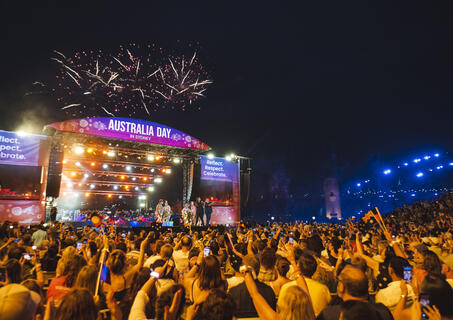
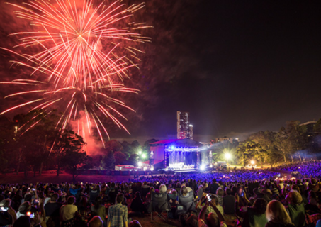
Harbourfest 10:30 Ferrython 12:10 Australia Day Live! (ticketed concert) at forecourt of the Sydney Opera House 19:30
Barangaroo, Sydney Harbour, Circular Quay and The Rocks
Gates open 17:00 Support acts from 18:00 Luke Combs 20:45 Finish (approx.) 22:45
Accor Stadium, Sydney Olympic Park
Gates open 18:30 Kick-off 19:35 Full time 21:30
CommBank Stadium, Parramatta
Gates open 17:15 Start of play 19:15 End of play (approximate) 22:10
Sydney Cricket Ground, Moore Park
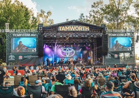
Various locations, Tamworth
Gates open 12:00 Start 12:25 Finish (approx.) 21:45
Start 20:00 Finish 21:30
Parramatta Park, Parramatta
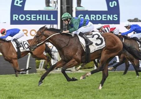
Gates open 11:15 First race 12:20 Last race 18:00
Rosehill Gardens, Rosehill
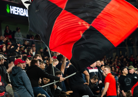
Gates open 16:00 Kick-off 17:00 Full time 18:45
Allianz Stadium, Moore Park
Doors open 19:00 Start 20:00 Full time 22:00
WIN Entertainment Centre, Wollongong
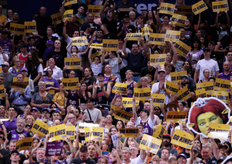
Doors open 11:00 Flames v Lightning 12:00 Kings v JackJumpers 14:30 Finish 16:30
Qudos Bank Arena, Sydney Olympic Park
Doors open 18:30 Start 19:30 Finish 21:30