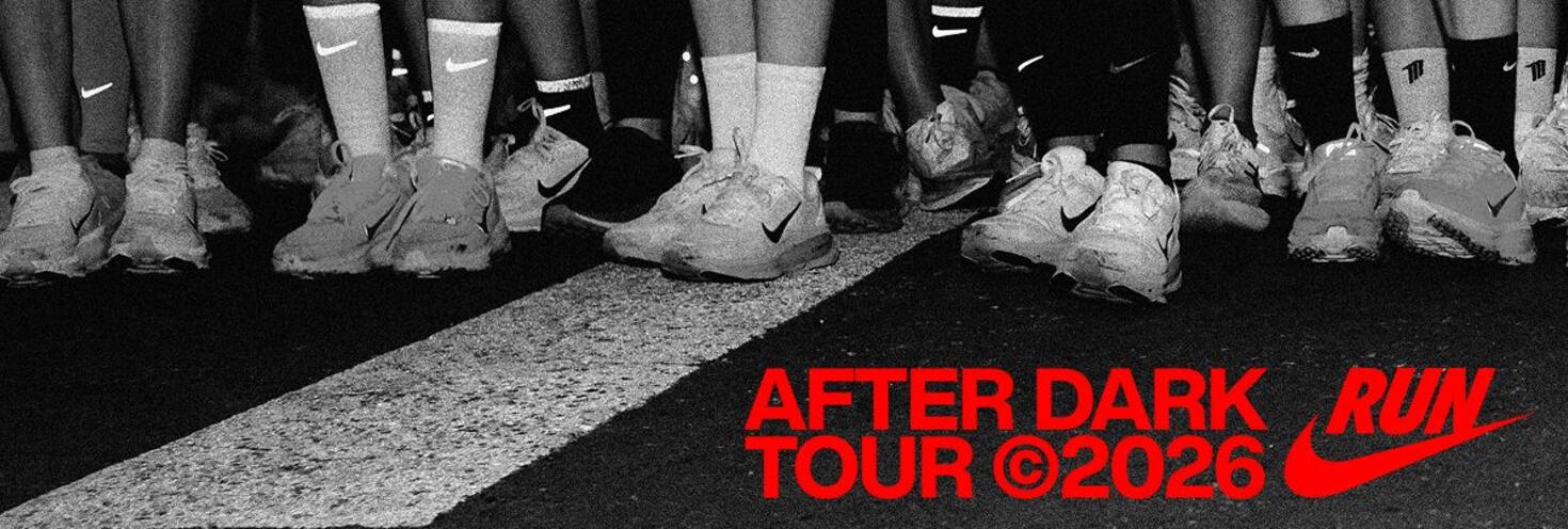
Nike AfterDark Half Marathon
Rozelle Parklands to Darling Harbour via White Bay, Glebe and Pyrmont
-
Gates open
15:00
Race start 17:00
Finish 23:00
Important travel advice
7,500 participants are expected to take part in the Nike AfterDark dusk-to-night 21.1km half marathon event. The course starts from Rozelle Parklands, and continues around White Bay, Glebe, Pyrmont to finish at Tumbalong Park in Darling Harbour.
With limited on-site parking at the start line, the best way to get to the event is by public transport.
Travel on all modes public transport is included for participants. Simply show your runners bib, travel pass or your bib collection email to transport staff when boarding services.
Buses run regularly to Rozelle Parklands stopping on Victoria Rd. L1 Dulwich Hill light rail services also run regularly to Rozelle Bay light rail stop which is a short walk across to the park via the Green Link Bridge.
Free shuttle buses will operate between Central Station, ICC Sydney and Rozelle Parklands between 2:15pm and 4:30pm, leaving every 15 minutes or once full to take participants to the start line.
Please note Metro services will not be operating between Chatswood and Sydenham due to planned weekend trackwork. Metro services continue to run between Tallawong and Chatswood. Use trains for travel between Chatswood and the city.
Road closures will be in place from 3pm to 9.45pm along parts of the course in Rozelle, Forest Lodge and Pyrmont. Motorists should allow extra travel time and follow detours. You can find real-time updates on traffic conditions at livetraffic.com.
Travel entitlements
Travel on public transport is included for Nike AfterDark Half Marathon 2026 participants. Simply show your runners bib, travel pass or your bib collection email to transport staff when boarding services.
- Sydney Trains and NSW TrainLink services (bounded by Bomaderry, Goulburn, Bathurst, Scone and Dungog stations)
- Sydney Buses
- Sydney Metro services.
- Sydney, Parramatta and Newcastle Light Rail services
- Sydney and Newcastle Ferries
Remember to keep your event ticket safe for your return journey or you'll need to use your Opal card or contactless payment method, as you must have a valid ticket when travelling on public transport. Your event ticket is valid on the modes of public transport listed above until 4am the following day.
Note: an additional train station access fee applies for travel to or from Domestic and International Airport stations. The access fee is not covered by your event ticket travel entitlements.
Transport Park&Ride Car Parks
Park for free when you catch public transport. Transport Park&Ride provides up to 18 hours of free parking each day. All you have to do is complete a public transport trip. Located close to public transport hubs, Park&Ride car parks help you connect more easily to train, bus and ferry services.
Tickets to Nike AfterDark Half Marathon include travel on transport and free Park&Ride parking. When leaving the car park use the intercom button at the exit gate to speak with the operator and show your event ticket.
If you use a Transport Connect account to access Park&Ride, the boom gate will automatically open as you leave the car park so you’ll need to request a refund in your account
Real-time parking availability allows you to see how many vacant car park spaces are available at Transport Park&Ride car parks. For Park&Ride locations and more information on how it works, go to Transport Park&Ride.
Sydney Metro services are high-frequency, driverless trains running between Sydney’s north-west and south-west via the city.
The M1 Metro North West & Bankstown Line operates turn up-and-go Metro services between Tallawong, Chatswood and Sydenham from early morning until late.
Change at Central to connect with L1 Light rail services to Rozelle Bay leaving from the Grand Concourse. Alternatively you can also connect with event shuttle buses running to the parklands leaving from Railway Colonnade at Central.
M1 Metro North West & Bankstown Line planned trackwork - Sunday 27 September
- Metro services will not run between Chatswood and Sydenham due to planned maintenance and testing.
- Services run between Tallawong and Chatswood
- Use trains services between Chatswood and Sydenham
For Metro service disruption information, check trackwork and travel alerts or plan your trip using the Trip Planner.
The best station for connections to Rozelle Parklands are Town Hall and Central
From Town Hall, connect with regular route buses 502, 504, 505, 506 and 507 from Park St, or 441 and 442 buses from QVB York Street.
From Central, connect with L1 light rail services towards Rozelle Bay, event shuttle buses from Railway Colonnade or regular route buses 433 and 501 from Pitt St near Belmore Park.
Trackwork
Planned trackwork is taking place on Sunday 27 September and may affect have you travel to and from the event. Plan ahead using the Trip Planner.
Detailed trackwork information will be available closer to the time.
Trackwork is carried out on an ongoing basis to maintain the safety, reliability, and efficiency of the Sydney Trains network. For train service disruption information, check trackwork and travel alerts or plan your trip using the Trip Planner.
Regular route buses
Plenty of route buses run regularly to Rozelle and stop within short walking distance of Rozelle Parklands.
The closest stops are Victoria Rd Opp White Bay near Robert St, a 5-minute walk to the start line.
Catch one of the following route buses:
- 502, 504, 505, 506 and 507 buses from Town Hall Park St, Stand K, near Pitt St
- 441 and 442 buses from QVB York Street, Stand B or from Birchgrove/Balmain
- 433 and 501 from Pitt St opp Barlow St at Belmore Park near Central Station)
Event shuttle buses
Free shuttle buses will also operate from Central to Rozelle Parklands
- Free shuttle buses will operate between Central Station, ICC Sydney and Rozelle Parklands between 2:15pm and 4:30pm, leaving every 15 minutes or once full to take participants to the start line.
- The Shuttle bus service departs from Central Station, Railway Colonnade Drive and ICC Sydney Darling Drive.
Bus Diversions
Route 389: from 4.30pm to 9.45pm route 389 services towards Pyrmont will end trips at Miller Street corner of Harris Street (Stop ID 200932) while Pirrama Road is closed.
For bus service disruption information, check travel alerts or plan your trip using the Trip Planner.
Catch one of the many ferry services to Balmain East or Birchgrove where you can connect with route buses to get within walking distance of the event.
Route 441 buses run regularly from Birchgrove Wharf and route 442 buses run from Balmain East Wharf. Both services stop on Victoria Rd opposite Rozelle Parklands.
Alternatively catch a ferry to Circular Quay where you can connect with trains or light rail services to Town Hall then buses to Rozelle.
Keep in mind that Sydney ferry services are popular and may reach capacity, particularly on weekends. Plan your trip and allow plenty of extra travel time or consider the alternative public transport options available.
For ferry service disruption information, check travel alerts or plan your trip using the Trip Planner.
L1 Dulwich Hill Line
L1 Dulwich Hill Line light rail services run between Central Station (Grand Concourse) and Dulwich Hill via Darling Harbour and the Inner West. Services run regularly from 5am to 1am daily. Plan your trip using the Trip Planner.
The closest light rail stop to the starting area is Rozelle Bay. From there, you can walk across to Rozelle Parklands via the Green Link Bridge.
From the finish area the closest stop is Exhibition Centre or you can walk to Central Station for other transport connections.
L2 Randwick and L3 Kingsford Lines
L2 Randwick Line light rail services run between Circular Quay and Randwick via Central Station (Chalmers Street) and L3 Kingsford Line services run between Circular Quay and Juniors Kingsford via Central Station (Chalmers Street). Services run regularly from 5am to 1am daily. Plan your trip using Trip Planner.
Catch a service to QVB to connect with buses towards Rozelle departing from York St. Alternatively, change at Central or Chinatown (Capitol Square) to an L1 Line service to Rozelle Bay to get within walking distance of the parklands.
L4 Westmead and Carlingford Line
L4 Westmead and Carlingford Line light rail services run between Carlingford and Westmead via Parramatta CBD. Services run regularly from 5am to 1am daily. Plan your trip using the Trip Planner.
Alight at Parramatta Square and connect with a train to Central from Parramatta Station. From Central, catch L1 light rail services or buses towards Rozelle to get within short walking distance of the event.
Passengers are reminded that trams can’t stop quickly or easily – so please stop, listen and look around for trams and use designated pedestrian crossings.
For maps and service frequencies see light rail service information. For light rail service disruption information, check travel alerts or plan your trip using the Trip Planner.
Allow extra travel time as traffic in the area may be heavier than usual as attendees travel to the starting area in Rozelle. Parking in the area is very limited, so attendees are urged to consider the transport options.
If you have to drive, carpool with your group and arrive early to find local parking or consider parking in the city near the finish area and continuing your trip to the start line by light rail or bus.
Road closures:
The following road closures will be in place to safely facilitate the event:
Rozelle from 4pm to 8pm
- Port Access Road between Sommerville Road and the White Bay Cruise Terminal
- Solomons Way between Sommerville Road and Port Access Road
- Sommerville Road between James Craig and Port Access Road
Annandale from 4.30pm to 8.30pm
- Dalgal Way between Nelson Street and the Tramsheds Parkway
- Ross Street entrance to Tramsheds
Pyrmont from 4.30pm to 9.45pm
- Harris Street between Bowman Street and Johnstons Bay Harbour Walkway
- Pirrama Road between Harris Street and 23 Pirrama Road
- Pirrama Road between 23 Pirrama Road and Darling Island Road (resident and business access will be maintain from Jones Bay Road)
Bank Street between Quarry Master Drive and Bowman Street (westbound) will also close from 3pm to 10pm
Please be careful exiting driveways, look out for runners and follow directions of Traffic Controllers and Police.
Shared footpath closures and changes:
- Rozelle Parklands: shared footpaths within Rozelle Parklands near Lilyfield Road will close from 3pm to 9pm. Pedestrians and cyclists will be diverted to use Lilyfield Road footpaths instead.
- Anzac Bridge: Cyclists travelling westbound towards Rozelle on the Anzac Bridge will be managed by traffic control on approach to Victoria Rd while runners pass through the area. Cyclists should be prepared to slow down and dismount between 4.30pm and 6.30pm.
- White Bay: shared footpaths along James Craig Road will close from 5pm to 8.45pm. Cyclists and pedestrians will be diverted via Victoria Road. Cyclists will be separated from runners accessing the Glebe Foreshore from James Craig Road
- Bicentennial & Blackwattle Bay parklands: shared footpaths along the waterfront from Glebe Point Road to Bridge Road will close from 4.30pm to 8.30pm. Cyclists and pedestrians will be detoured via Glebe Point Road, Forsyth Street, Taylor Street and Bridge Road.
For the latest traffic information visit Live Traffic NSW or download a real-time traffic app.
Traffic may be heavier than usual, and parking is limited in the Rozelle area near the start line. If you have to drive, carpool with your group and arrive early to find local parking or consider parking in the city near the finish area and continuing your trip to the start line by light rail or bus.
Car parks
There is plenty of parking at the below locations near the finish line.
- Wilson Car Park - Harbourside Car Park
- International Convention Centre (ICC) Parking
- First Parking Darling Quarter Car Park, 1/11 Harbour Street
- First Parking Darling Square Car Park, Zollner Circuit
- Number One Dixon Car Park
Transport Park&Ride Car Parks
Park for free when you catch public transport. Transport Park&Ride provides up to 18 hours of free parking each day. All you have to do is complete a public transport trip. Located close to public transport hubs, Park&Ride car parks help you connect more easily to train, bus and ferry services.
Tickets to Nike AfterDark Half Marathon include travel on transport and free Park&Ride parking. When leaving the car park use the intercom button at the exit gate to speak with the operator and show your event ticket.
If you use a Transport Connect account to access Park&Ride, the boom gate will automatically open as you leave the car park so you’ll need to request a refund in your account
Real-time parking availability allows you to see how many vacant car park spaces are available at Transport Park&Ride car parks. For Park&Ride locations and more information on how it works, go to Transport Park&Ride.
Accessible trips are shown in the Trip Planner with the wheelchair icon. You can select "accessible services only" in the Options to ensure you only see accessible services. Only trip plans with accessible train platforms, ferry wharves and buses will be presented. See accessible travel or download a transport app (select the "Accessibility" filter).