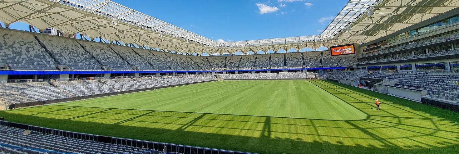
Getting to CommBank Stadium

CommBank Stadium is Western Sydney's home of sport and entertainment located in the heart of Parramatta at 11-13 O'Connell Street.
You can travel to CommBank Stadium by train, light rail, ferry and bus with plenty of additional transport services running on big event days.
For what’s on, event details and travel information, see upcoming events. Tickets to events at CommBank Stadium may include travel on public transport, refer to the relevant event page for more details. Use the Trip Planner to plan your trip to CommBank Stadium.
Travel to and from the Stadium
The closest station is Parramatta Station accessible via the T1 Western Line, T2 Inner West & Leppington Line and the T5 Cumberland Line.
Parramatta is very well serviced by trains with services running every 10 to 15 minutes in both directions.
Take the Parramatta Square station exit to connect with L4 light rail services to Prince Alfred Square to get within close walking distance of the stadium.
Alternatively, you can walk 15 minutes from Parramatta train station to the stadium via Church Street, the Riverside Walk (non-accessible route) or through Prince Alfred Square to the stadium on O'Connell Street. See the CommBank Stadium transport and walking route map (pdf 3.9MB) to find your way.
A number of buses run to and from Parramatta Interchange which is within a 15 minute walking distance of CommBank Stadium. Some buses also make stops on O’Connell St closer to the stadium.
See the CommBank Stadium transport and walking route map (pdf 3.9MB) to find your way.
On some event days additional services will run to help you get to and from the Stadium, see upcoming events for details.
The closest wharf to CommBank Stadium is Parramatta Wharf..
From the wharf, walk to Robin Thomas light rail stop via the riverside, Argus Lane and Macquarie St to connect with L4 light rail services to Rosehill Gardens.
F3 Parramatta River services run regularly to Parramatta but services are popular and may reach capacity. Plan your trip and allow plenty of extra travel time or consider the alternative public transport options available.
Please note, F3 Parramatta River ferries between Parramatta and Rydalmere may be affected by low tide and replaced by buses, check for updates here.
L4 Westmead and Carlingford Line light rail services run between Carlingford and Westmead via Parramatta CBD. Services run regularly from 5am to 1am daily.
The closest light rail stop to CommBank Stadium is Prince Alfred Square. Alight at Prince Alfred Square and continue on foot via Victoria Rd to the stadium.
See the CommBank Stadium transport and walking route map (pdf 3.9MB) to find your way.
Dependent on the expected crowd size, sections of O’Connell St, Ross St and Victoria Rd in the vicinity of CommBank Stadium may close on event days to allow crowds to safely exit the stadium. Roads will reopen once crowds have cleared the area and NSW Police deem it safe to reopen the roads to vehicle traffic.
While closures are in place motorists are encouraged to avoid driving through Parramatta CBD and detour around the closures via Grose St, Brickfield St, Victoria Rd and Wilde Ave in both directions.
See the CommBank Stadium road closures and detour map (pdf 270KB)
On event days traffic may be heavier than usual on roads approaching the stadium including Parramatta Rd, Church St, Victoria Rd, James Ruse Dr and Pennant Hills Rd.
Motorists should also exercise caution as pedestrian activity will be high on roads between Parramatta Interchange and the stadium.
For real-time updates on road closures and traffic conditions, visit livetraffic.com
Event attendees with mobility impairments or accessibility requirements can catch one of the regular route bus services that leave from bus stand A4 at Parramatta Interchange and make stops on O’Connell Street outside the stadium including routes 600, 601, 603, 604, 606 and 706.
Accessible trips are shown in the Trip Planner with the wheelchair icon. You can select Accessible services only" in the Options to ensure you only see accessible services. Only trip plans with accessible train platforms, ferry wharves and buses will be presented.
There are a range of tools and resources for planning an accessible trip, or download a transport accessibility app (select the "Accessibility" filter) that best suits your needs.