Plan your travel in NSW using the Trip Planner or apps, check timetables and travel alerts and find information on stations, stops, wharves and how to get to events.
Tickets and fares for metro, train, bus, ferry, light rail and coach within Sydney and around NSW. Find out about Opal or book NSW TrainLink Regional train and coach services.
How to use public transport to get around Sydney and NSW. Travel to and from Sydney Airport. Information about accessible travel, safety and security, travelling with prams and late night transport.
With NSW TrainLink you can travel by train and coach to 365+ destinations across New South Wales, Victoria, Queensland and the ACT.
Need help? Explore popular help topics or contact Transport for NSW.
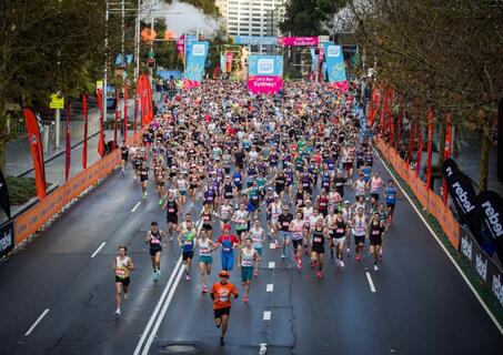
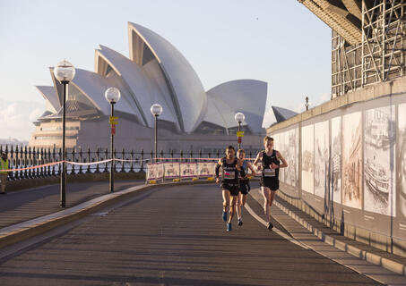
City2Surf Expo at Hordern Pavilion from 6 to 8 August . Race starts near Hyde Park on William Street in the CBD Event site opens at 6am Runners released in waves from 7.35 am Start line closes at 9.50 am All runners finish at Bondi Beach by 2pm
Hyde Park, Sydney CBD to Bondi Beach
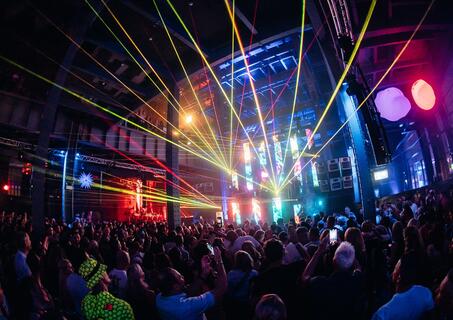
Starts nightly 16:00 Finishes nightly 23:59
White Bay Power Station
Gates open 18:30 NRL Kick off 19:50 Full time 21:35
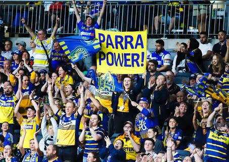
CommBank Stadium, Parramatta
Gates open 19:00 NRL kick off 20:00 Full time 21:45
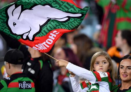
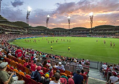
Accor Stadium, Sydney Olympic Park
Gates open 15:15 NRL Kick-off 18:00 Full time (approx.) 20:00
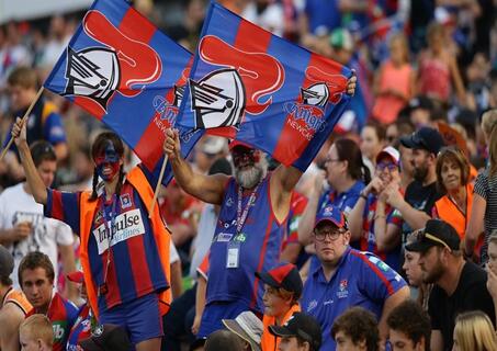
McDonald Jones Stadium, Broadmeadow
Gates open 12:25 First bounce 16:35 Full time 18:00
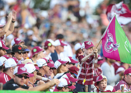
ENGIE Stadium (Showground Stadium), Sydney Olympic Park
Gates open 14:45 NRLW - Bulldogs v Dragons 15:15 NRL - Bulldogs v Warriors 17:30 Full time 19:15
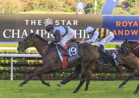
Gates open 10:15 First race 11:20 Last race 16:45
Royal Randwick Racecourse, Randwick
Doors open 08:00 Show starts 09:00 Finish 15:00
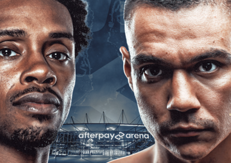
Afterpay Arena (formerly Qudos Bank Arena), Sydney Olympic Park
Gates open 11:30 NRL kick off 14:00 Full time 15:40
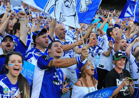
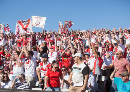
St George Venues Jubilee Stadium, Kogarah
Gates open 11:30 NRL kick-off 16:05 Full time 17:40
4 Pines Park, Brookvale
5km run starts at 07:30 10km run starts at 08:15 All events finished by 10:30 Post-race festivities finish by 13:00
The Rocks, Dawes Point, Millers Point, Barangaroo, King St Wharf & Pyrmont