Plan your travel in NSW using the Trip Planner or apps, check timetables and travel alerts and find information on stations, stops, wharves and how to get to events.
Tickets and fares for metro, train, bus, ferry, light rail and coach within Sydney and around NSW. Find out about Opal or book NSW TrainLink Regional train and coach services.
How to use public transport to get around Sydney and NSW. Travel to and from Sydney Airport. Information about accessible travel, safety and security, travelling with prams and late night transport.
With NSW TrainLink you can travel by train and coach to 365+ destinations across New South Wales, Victoria, Queensland and the ACT.
Need help? Explore popular help topics or contact Transport for NSW.
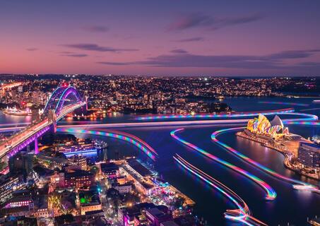
Lights on 6pm Lights off 11pm
Sydney CBD light walk - Circular Quay and The Rocks, Barangaroo and Darling Harbour
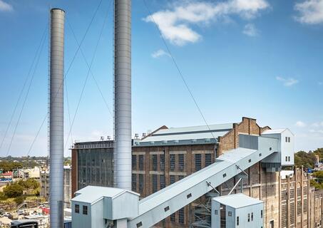
Open Tuesday to Sunday (incl public holidays) 10am to 5pm
White Bay Power Station
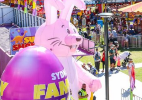
Show starts daily 10:00 Thursday 2 April finish 15:00 Sunday to Friday finish 16:00 Saturdays & Good Friday finish 17:00
Entertainment Quarter, Moore Park
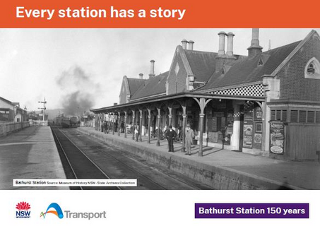
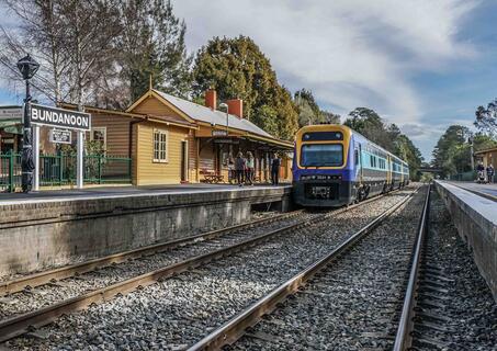
Bathurst Station
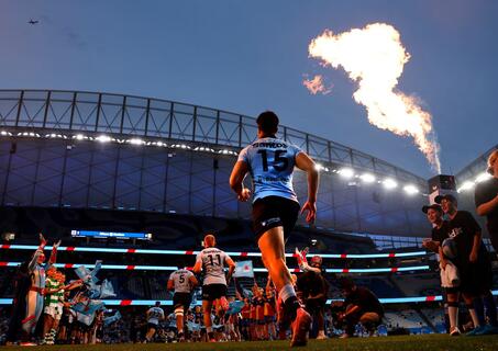
Gates open 18:30 Kick-off 19:35 Full time 21:20
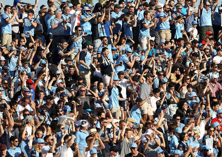
Allianz Stadium, Moore Park
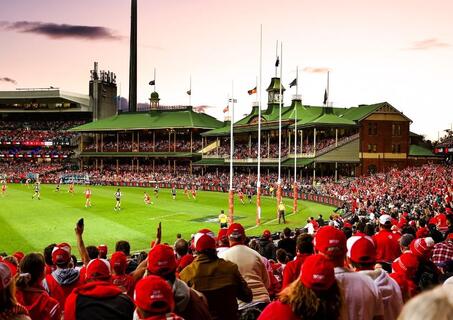
Gates open 15:30 AFL first bounce 19:50 Full time 22:30
Sydney Cricket Ground, Moore Park
Saturday Start 7:00
Belmore Basin, Wollongong Harbour
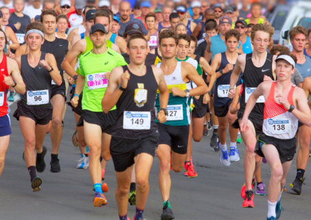
Gates open 07:30 Street Parade start 09:00
Bundanoon Oval - Erith Street, Southern Highlands
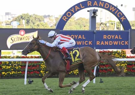
Gates open 10:15 First race 11:25 Last race 16:55
Royal Randwick Racecourse, Randwick
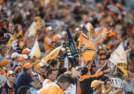
Gates open TBC Kick-off 19:30 Finish 21:30
Campbelltown Sports Stadium, Leumeah
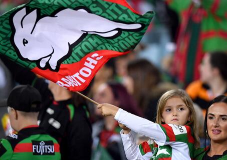
Gates open 15:00 Kick-off 17:30 Full time 19:15
Accor Stadium, Sydney Olympic Park