Plan your travel in NSW using the Trip Planner or apps, check timetables and travel alerts and find information on stations, stops, wharves and how to get to events.
Tickets and fares for metro, train, bus, ferry, light rail and coach within Sydney and around NSW. Find out about Opal or book NSW TrainLink Regional train and coach services.
How to use public transport to get around Sydney and NSW. Travel to and from Sydney Airport. Information about accessible travel, safety and security, travelling with prams and late night transport.
With NSW TrainLink you can travel by train and coach to 365+ destinations across New South Wales, Victoria, Queensland and the ACT.
Need help? Explore popular help topics or contact Transport for NSW.
On Saturday 28 and Sunday 29 March, trackwork will affect Sydney Trains and Sydney Metro services on parts of the rail network.
Light rail lightrail Monday 16 March 2026
On Monday 23 March, from 10pm to 1am, L1 Dulwich Hill Line light rail services will not run between Central and Convention due to planned trackwork and maintenance works.
Bus bus Friday 13 March 2026
From 23 March, 56 services will be extended for Crangan Bay estate residents per week, improving access and connectivity for this growing Central Coast community.
Metro metro Thursday 05 March 2026
To get Sydney Metro ready for the extension from Sydenham to Bankstown, essential testing will take place during a series of planned line closures over the coming months.
Light rail lightrail Monday 23 February 2026
From Monday 9 to Wednesday 11 March, nightly from 9pm to 1am, L2 Randwick and L3 Kingsford Lines light rail services will not run due to planned trackwork and maintenance works.
Friday 06 February 2026
A new version of Trip Planner is now available on transportnsw.info, making it easier to plan trips across NSW.
Train train Tuesday 03 February 2026
From Monday 16 to Friday 27 February, buses replace some Blue Mountains Line trains due to trackwork.
Bus bus Wednesday 21 January 2026
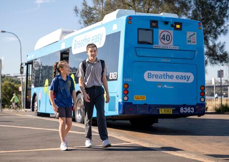
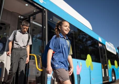
Changes to some school bus services will be introduced across Sydney from Day 1 of Term 1, 2026 to improve reliability, coverage and alignment with school and community needs.
Monday 05 January 2026
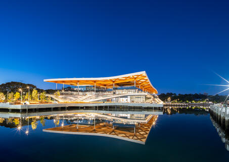
Public transport is the easiest way to reach the new Sydney Fish Market, opening Monday 19 January.
Light rail lightrail Thursday 20 November 2025
From Friday 21 November, there will be an increase of around 150 extra L1 Dulwich Hill light rail services per week.
Bus bus Monday 17 November 2025
From Sunday 30 November, we’ll be making service adjustments to school bus services in South-West Sydney.
Bus bus Wednesday 05 November 2025
From Sunday 16 November, we’ll be making changes to some bus services across South East Sydney.