Plan your travel in NSW using the Trip Planner or apps, check timetables and travel alerts and find information on stations, stops, wharves and how to get to events.
Tickets and fares for metro, train, bus, ferry, light rail and coach within Sydney and around NSW. Find out about Opal or book NSW TrainLink Regional train and coach services.
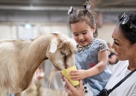
How to use public transport to get around Sydney and NSW. Travel to and from Sydney Airport. Information about accessible travel, safety and security, travelling with prams and late night transport.
With NSW TrainLink you can travel by train and coach to 365+ destinations across New South Wales, Victoria, Queensland and the ACT.
Need help? Explore popular help topics or contact Transport for NSW.
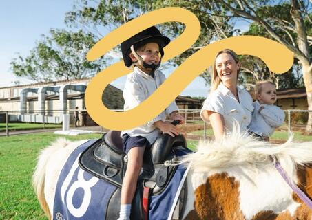
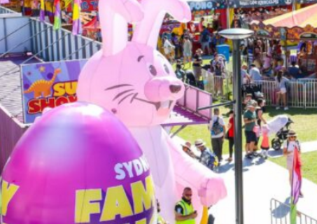
Gates open daily 08:30 Main Carnival & Showbag pavilion closes 21:00 Kids Carnival closes 21:00
Sydney Showground, Sydney Olympic Park
Open Tuesday to Sunday (incl public holidays) 10am to 5pm
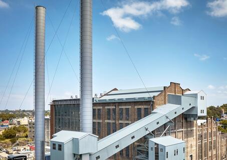
White Bay Power Station
Pre-show starts 18:45 Main-show starts 21:00
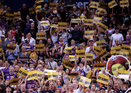
Qudos Bank Arena, Sydney Olympic Park
Gates open 18:30 Kick-off 20:00 Full time 21:35
4 Pines Park, Brookvale
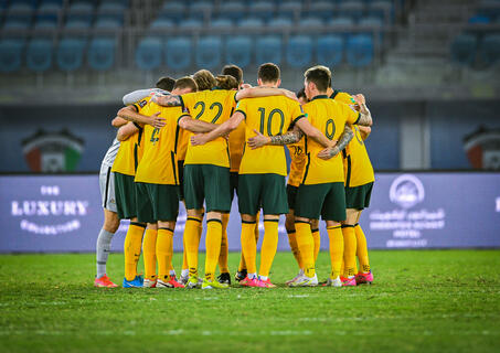
Gates open 16:30 Match 1 - China PR v Curaçao 17:00 Match 2 - Socceroos v Cameroon 20:10
Accor Stadium, Sydney Olympic Park
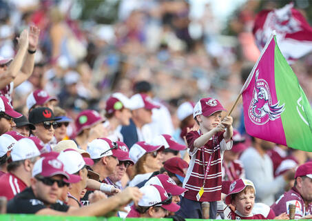
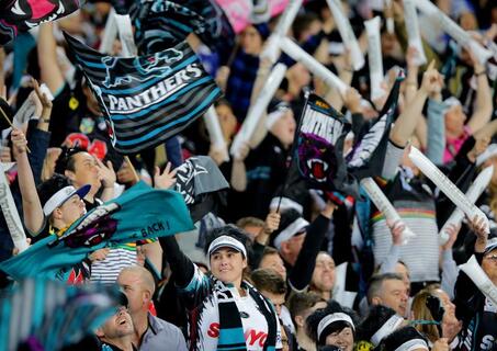
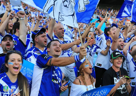
Gates open 16:00 NRL kick off 17:30 NRL full-time 19:15
CommBank Stadium, Parramatta
Doors open 18:30 Main-show starts 20:00 Show finishes 23:00
Gates open 11:15 First race 12:30 Last race 17:55
Rosehill Gardens, Rosehill
Gates open 14:00 Kick-off 15:00 Full time 16:45
Doors open TBC Start 14:15 Full time (approx.) 16:30
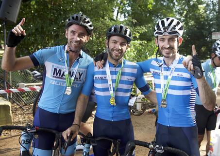
104km starts at 06:30 80km starts at 06:50 57km starts at 07:10 27km starts at 07:20 Event finished by 13:30
Karuah Oval, Turramurra – course travels via Ku-ring-gai and surrounds
Show starts daily 10:00 Thursday 2 April finish 15:00 Sunday to Friday finish 16:00 Saturdays & Good Friday finish 17:00
Entertainment Quarter, Moore Park